
This section describes how to publish and populate a multiple geography InstantAtlas dynamic report. It is assumed that the reader has prior knowledge of how to use the InstantAtlas Publisher and how to create data files with the Excel Data Manager. If you need information on these topics please refer to section ‘The InstantAtlas Desktop Publisher’ and section ‘The InstantAtlas Excel Data Manager’.
It is possible to publish InstantAtlas reports that thematically map data for multiple base geographies. Users of such a report can view data for the different base geographies without having to reload the whole dynamic report.
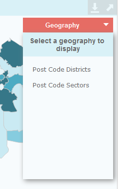
The Single Map, Population Pyramid, Double Map, Area Profile, Election Results, Scatter Plot and Advanced Bubble Plot allow you to have up to ten different base geographies. However, you can only display one at a time and you switch between them using a ‘Geography’ drop down menu.
The Double Map Time Series template allows you to have two different base geographies in the two maps, or the same geography in both maps.
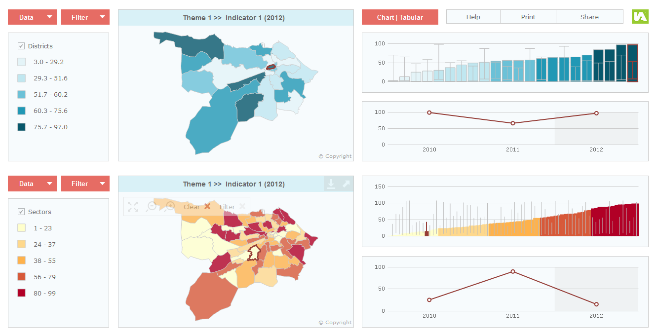
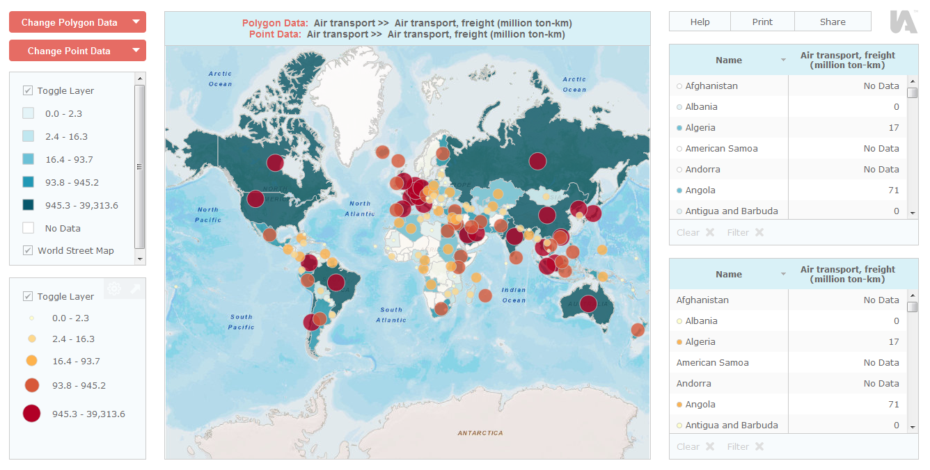
The Double Base Layer Template is a variant of the Double Map Time Series Template and allows you to see two base geographies together in one map.
![]() Note that if showing multiple geographies in a report, these must overlap (i.e. have approximately the same geographic extent). For example, publishing a report to show regions and districts in England is acceptable. Publishing a report to show regions in England and regions in France is not (as these geographies do not overlap).
Note that if showing multiple geographies in a report, these must overlap (i.e. have approximately the same geographic extent). For example, publishing a report to show regions and districts in England is acceptable. Publishing a report to show regions in England and regions in France is not (as these geographies do not overlap).
Further in this section: