
The following hints might help you to find a solution, when you cannot get Google Maps to work correctly in your report:
Google Maps appear but your other map layer(s) are not in the right location (they might appear somewhere near the west coast of Africa).
The reason for this is that the re-projection was not successful. Please check:
- that you are using ESRI shapefiles for all your base and contextual layers. The re-projection will not work for MapInfo MID/MIF or TAB files. You will need to re-project MapInfo files outside of InstantAtlas into ‘WGS 1984 Web Mercator (Auxiliary Sphere)’ before you can use them together with Google Maps in InstantAtlas.
- that you have a correct .prj file for each shapefile you use. This file describes the projection of the shapefile. The information in the .prj file has to match the projection the shapefile is actually in.
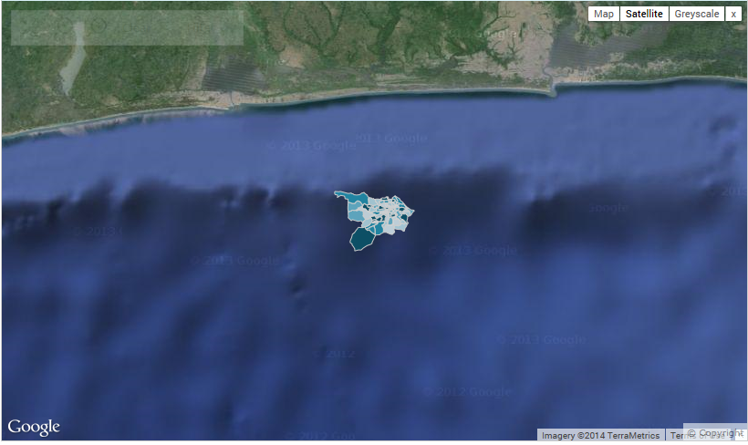
![]() It is not enough to take any .prj file and rename it to match the shapefile name!
It is not enough to take any .prj file and rename it to match the shapefile name!
You can however, copy a .prj file from another shapefile and rename it accordingly when you are sure that both shapefiles are in the same projection.
If you do not have a .prj file, one way to create one it to load the shapefile into ESRI ArcMap and export it again. During the exporting process a .prj files gets created.
- that your shapefile is in one of the supported projections:
o Un-projected coordinate systems (e.g. latitude/longitude)
o Coordinate systems that use a Transverse Mercator projection (e.g. British National Grid, UTM zones)
o Global coordinate systems using a Mercator projection
Shapefiles in other projections cannot be re-projected by the InstantAtlas Publisher. You will need to re-project them outside of InstantAtlas first (e.g. using ESRI ArcGIS) before you can use them together with Google Maps in a dynamic report.
- that the ‘Re-project all layers to match Google Maps’ option is selected in the Publisher when you click the ‘Advanced’ button of the Google Maps background layer.